The goal of gisland is to wrap some often used MFRI spatial objects into convenient functions.
Installation
You can install the development version of gisland from GitHub with:
Example
Some basic example illuminating features:
Get some object from LMÍ geoserver:
iceland <- gl_lmi_strandlina()
glines <- gl_lhg_grunnlina()
miles12 <- gl_lhg_landhelgi()
What do we have?:
ggplot() +
  geom_sf(data = iceland) +
  geom_sf(data = glines, colour = "red") +
  geom_sf(data = miles12, colour = "blue")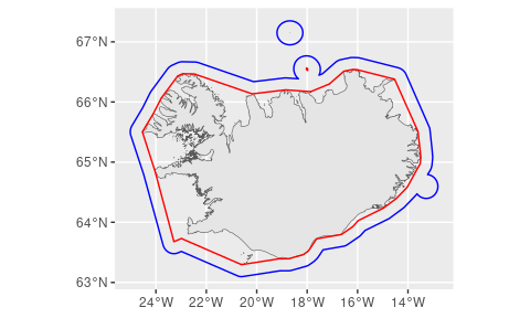
Could also do: